Mississippi Research Facility
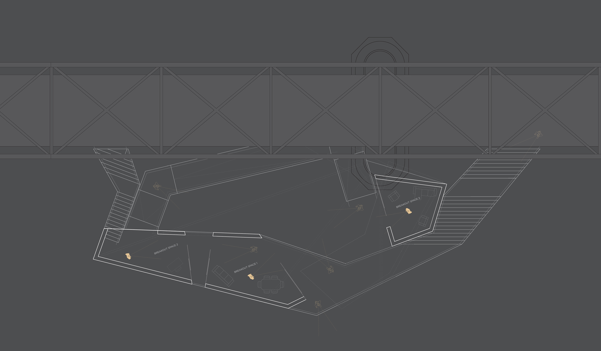
For our last core architecture studio, we were tasked with studying the site of the Chain of Rocks Bridge, and developing a proposal for a research facility and residence on a 200 ft section of the bridge. My proposal focuses on the intersection between disciplines—research and entrepreneurship, design and engineering. It blurs the lines between personal workspace and public gallery, in pursuit of a highly energetic, collaborative, and human-focused project incubator space.
HCW design a collaborative incubator space that derives its form from the river and encourages a productive interaction between visitors and incubator employees?
Studying the site
The Chain of Rocks Bridge is located at the northern boundary of St. Louis City, at the southern edge of an unnavigable 7-mile stretch of the Mississippi River. It is over 1 mile long and has a 22 degree bend in the middle due to the stability of the river bed along its path. It is the world's longest pedestrian bridge.
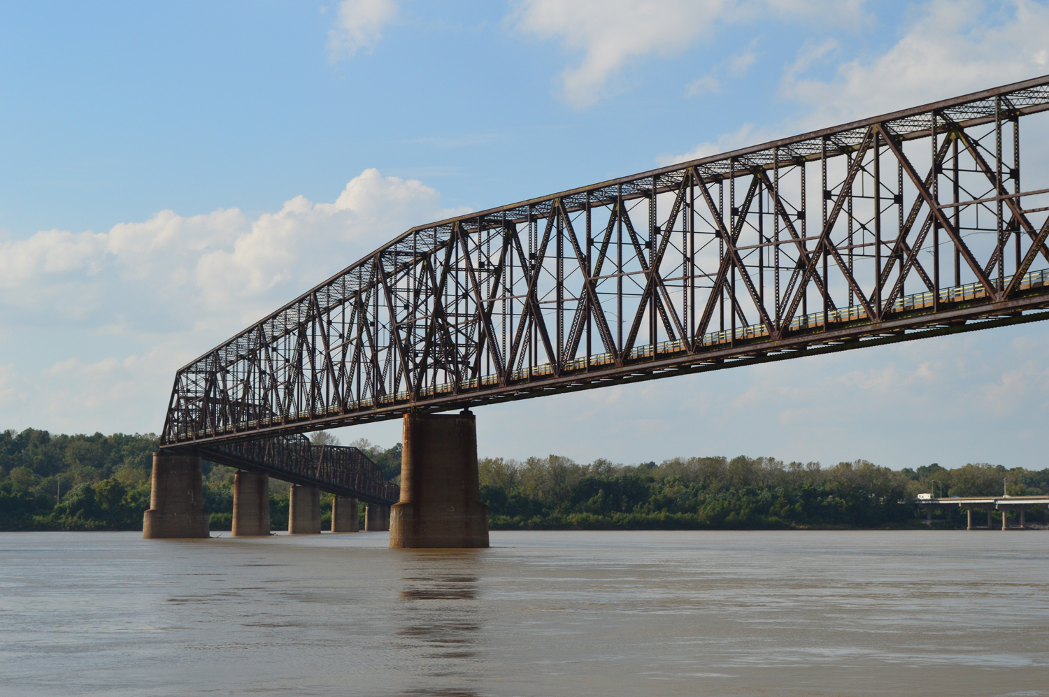
Photo by Finnegan Roy-Nyline
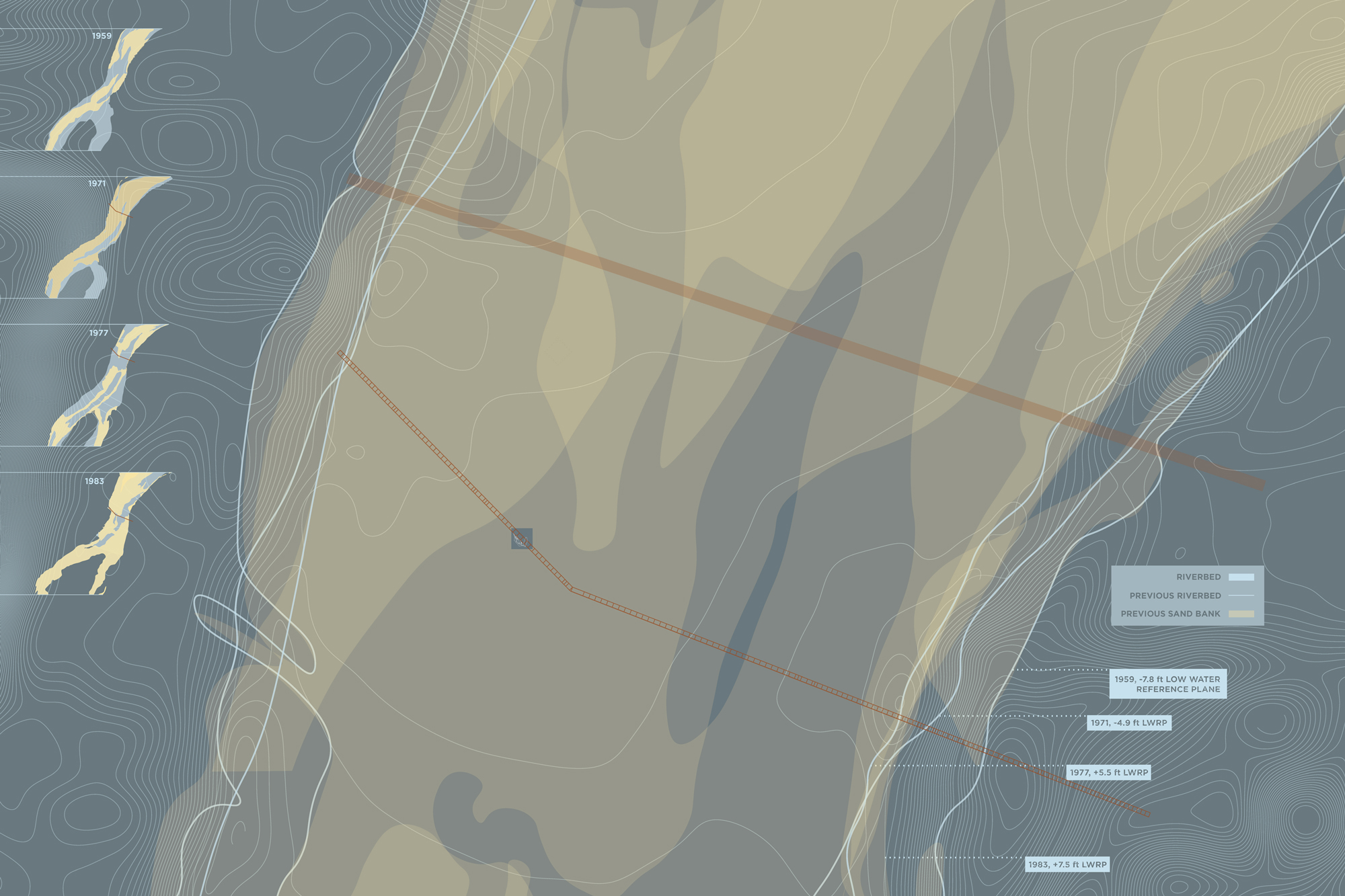
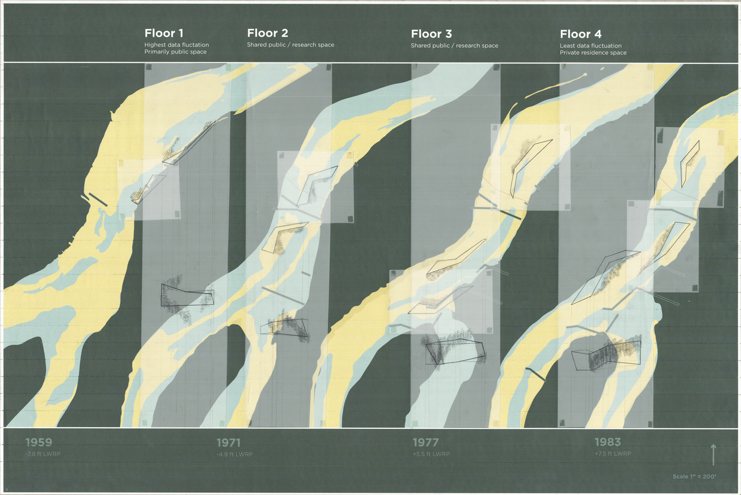
Depending on the year, or even the month, the sediment and turbidity levels of the river change drastically. Whole sandbanks appear and disappear due to water levels and the sediment makeup of the Missouri and Mississippi Rivers at their confluence 7 miles to the north. The banks of the river are generally eroding, straightening out over time.
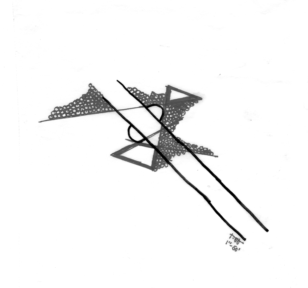
In this second iteration of site study, I was interested in adding the factor of man-made barriers like dams and river training structures to my study of sediment form.
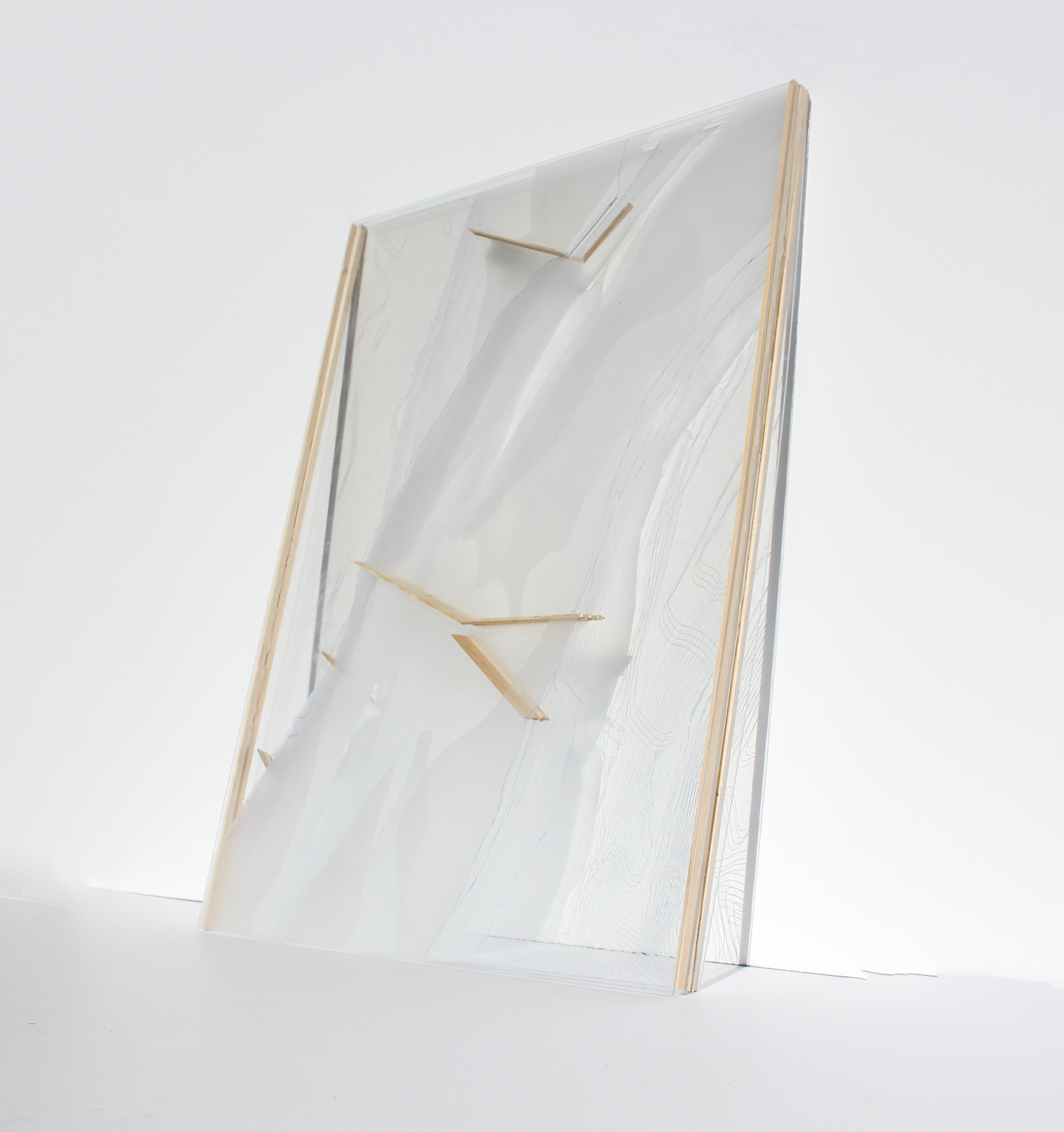
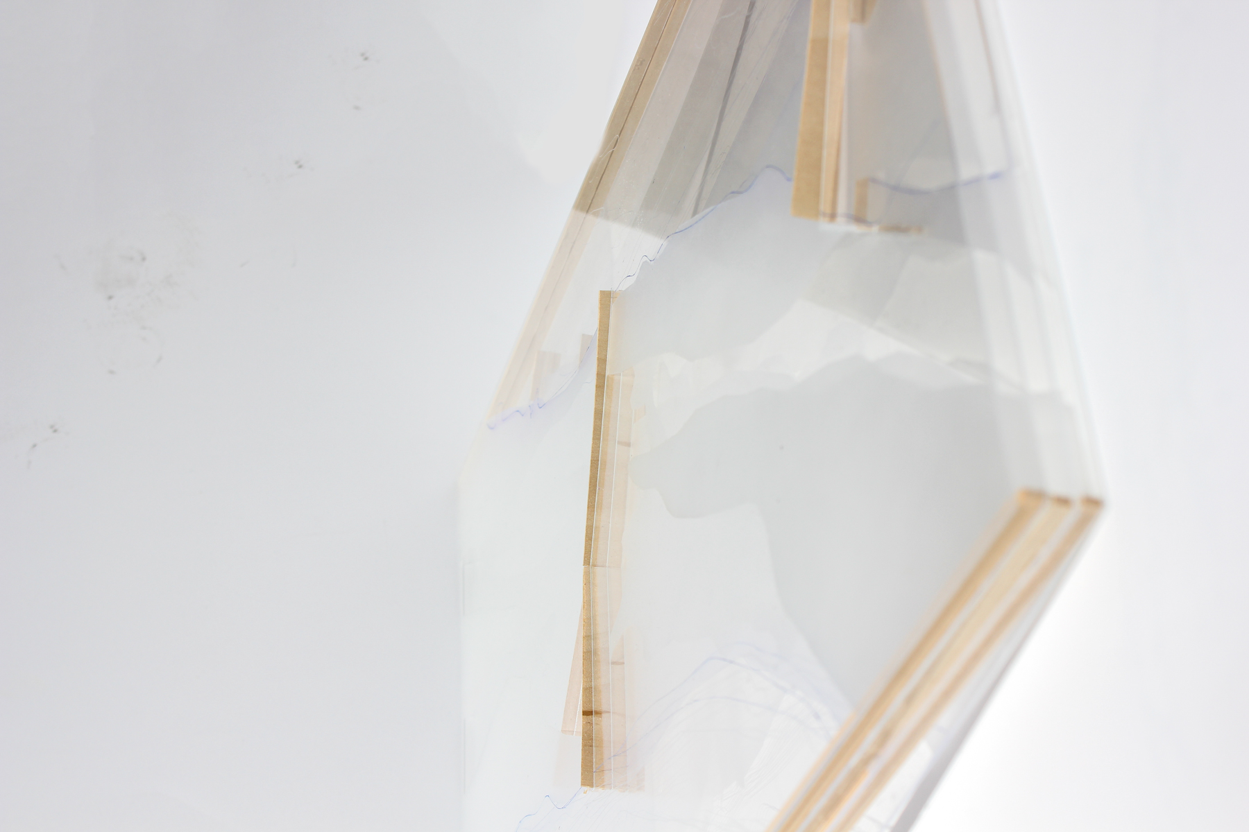
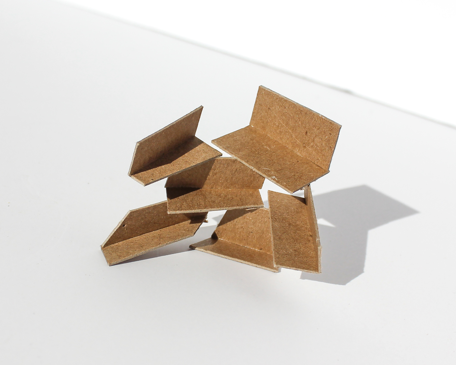
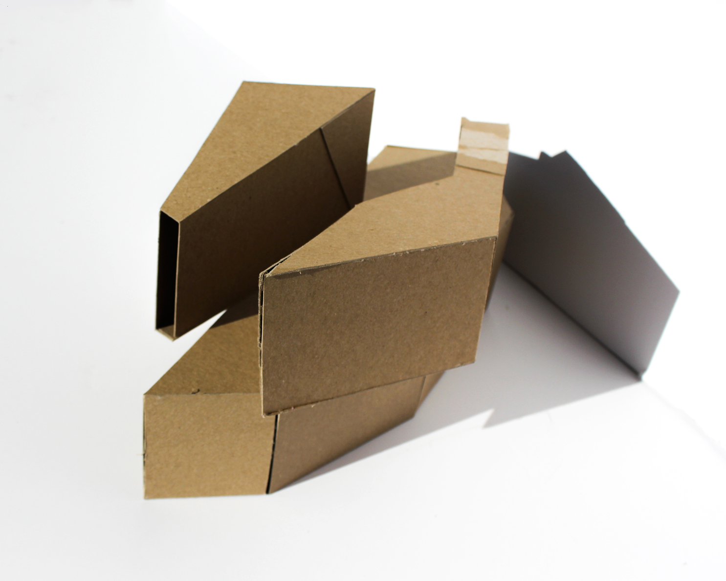
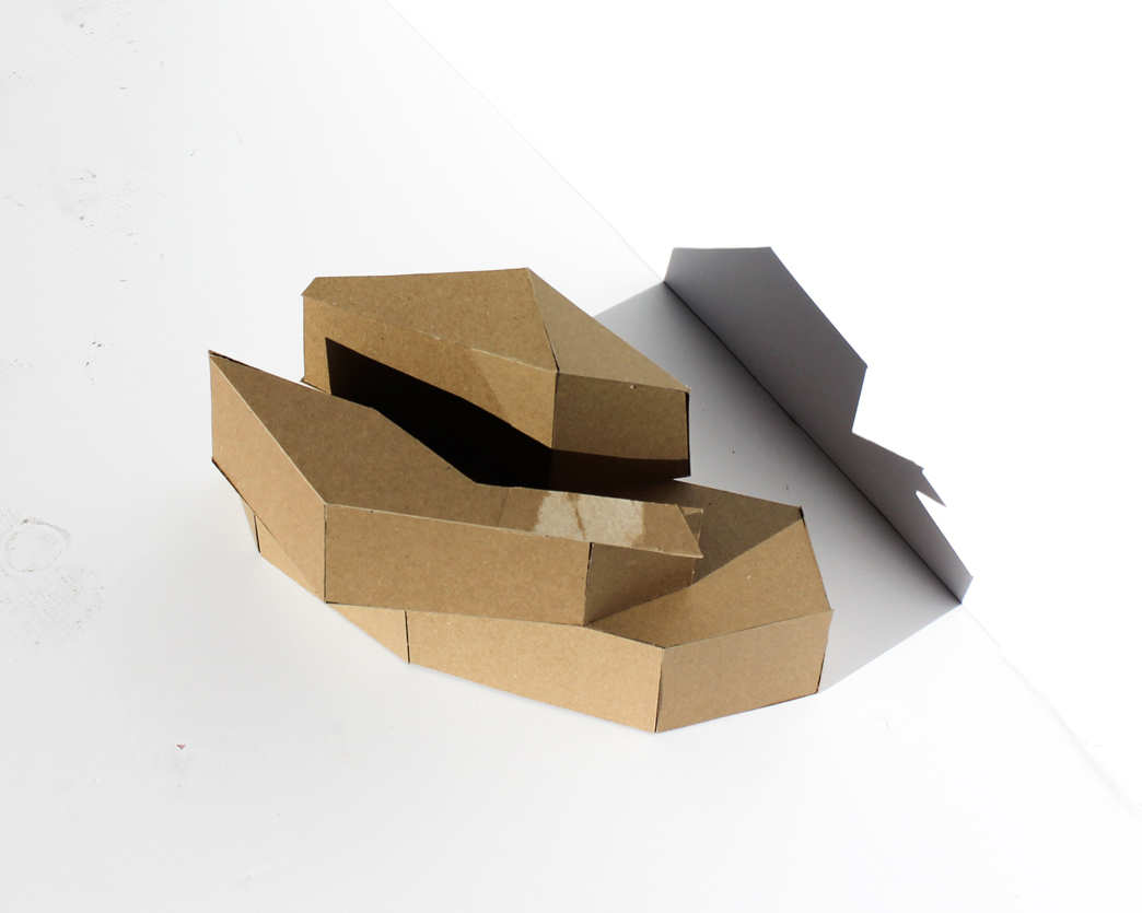
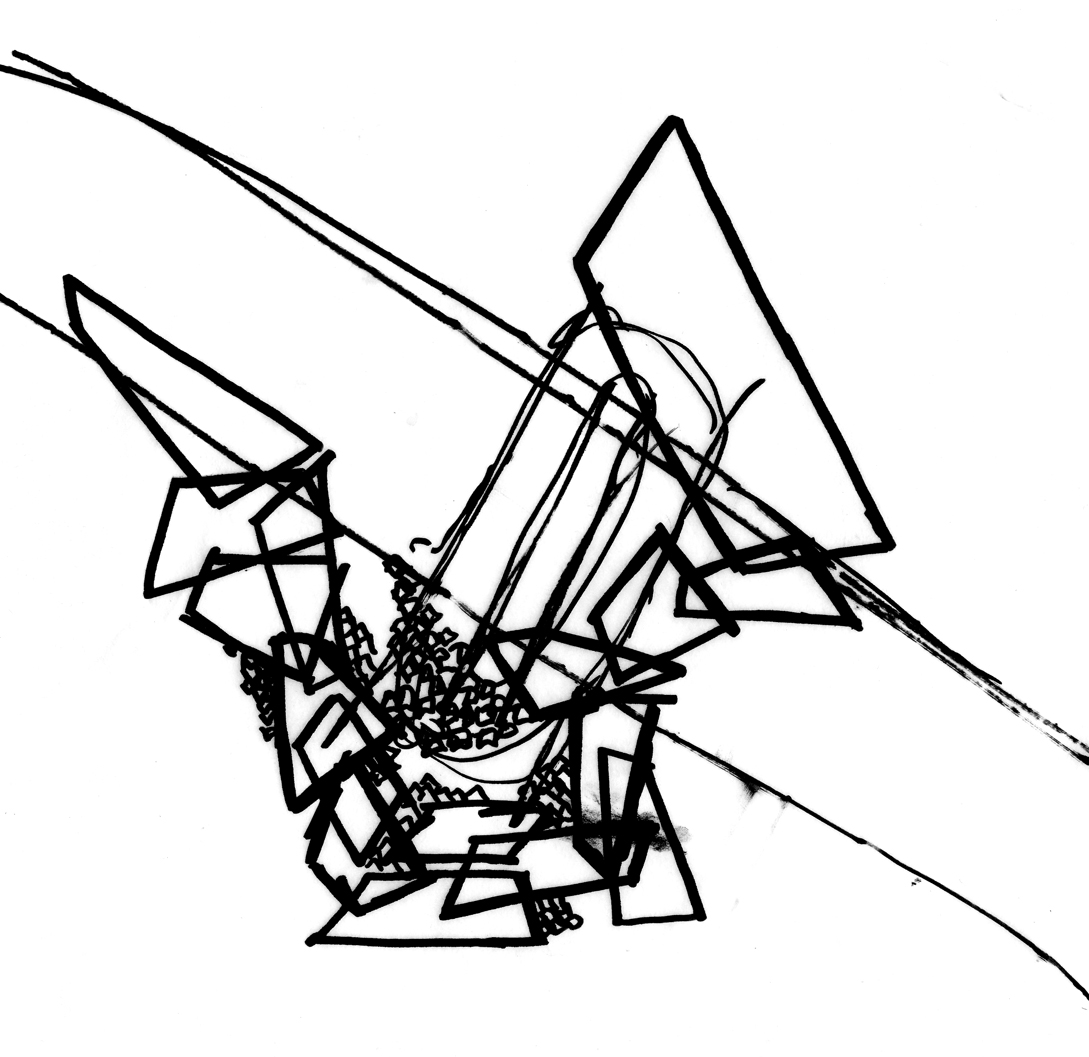
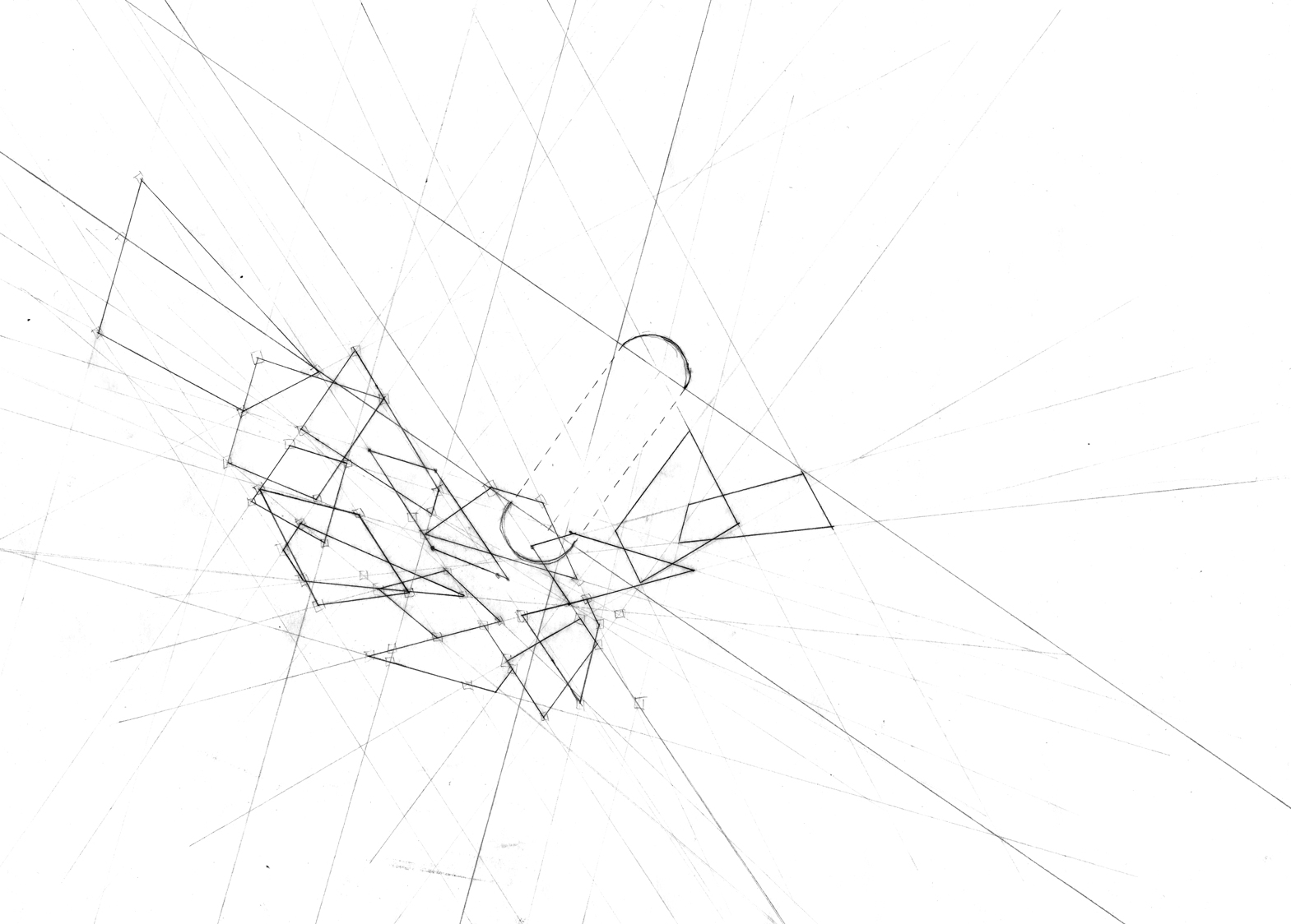
Exploration of form
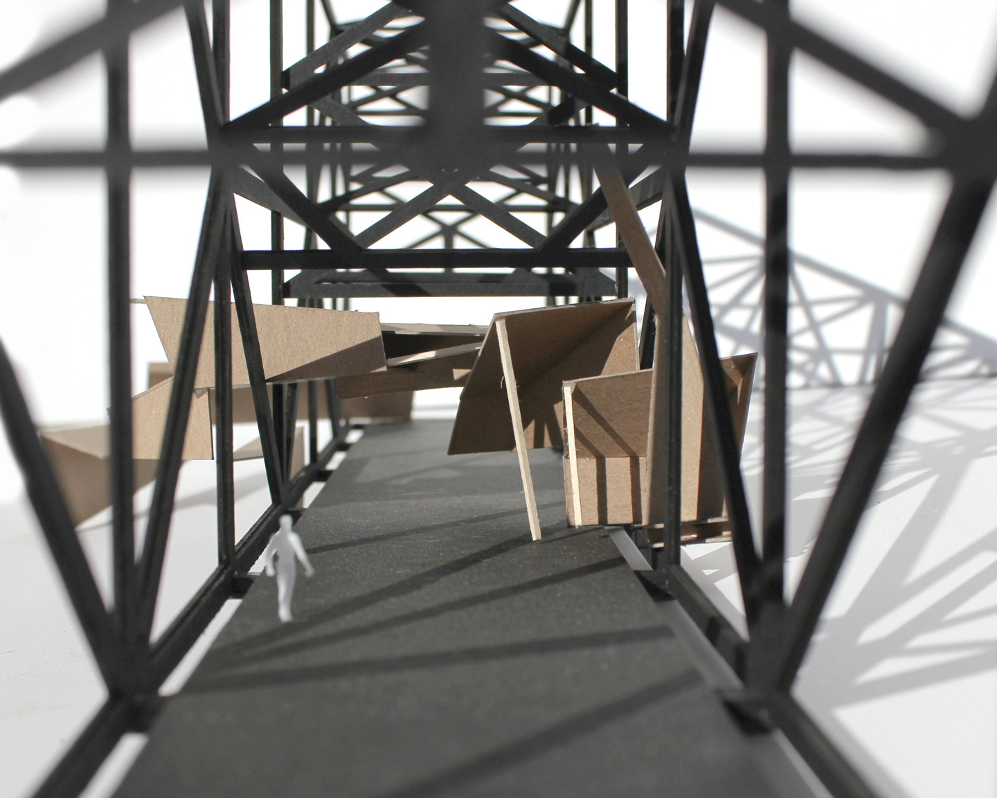
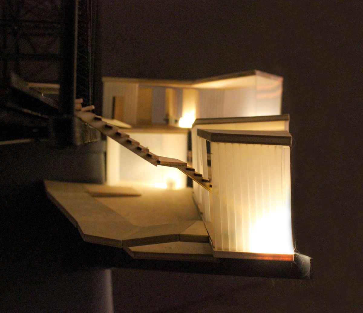
Energizing the space
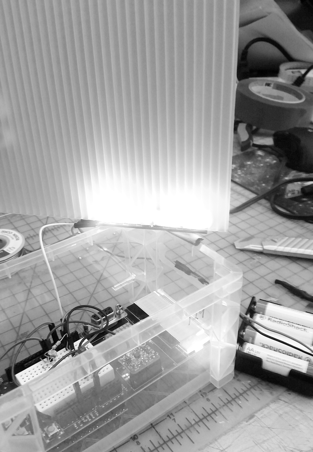
Test circuit using Arduino and neopixels
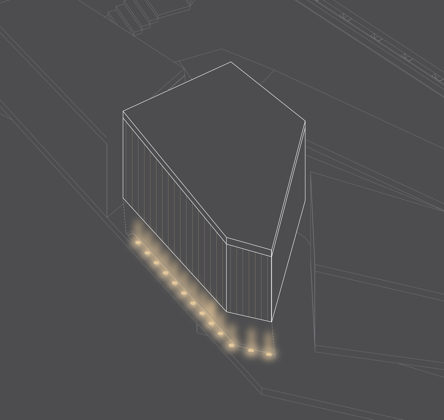
I decided to translate the real-time data collected by sediment sensors in the river into a fluctuating LCD lighting system in the walls that is maintained by the designers and engineers occupying the space. This lighting condition serves to partition views for the team workers, add an element of scientific activity to the space, and attract pedestrians to further interact with the team members.
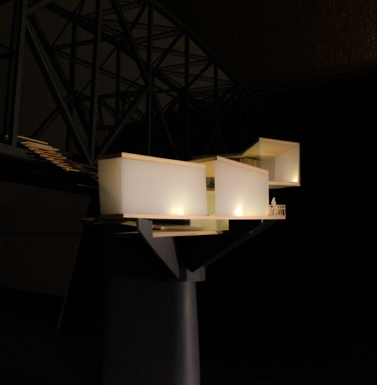
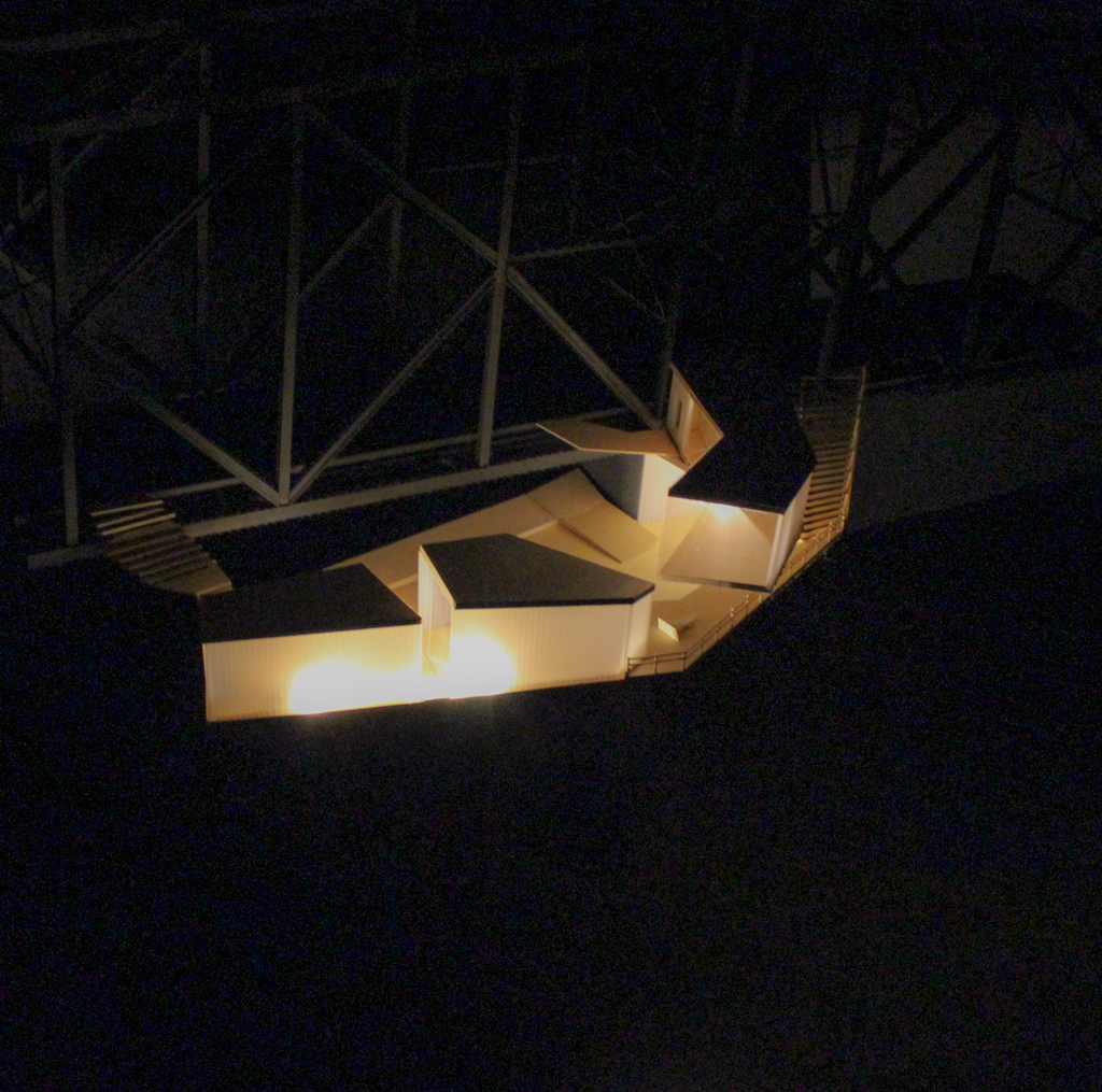
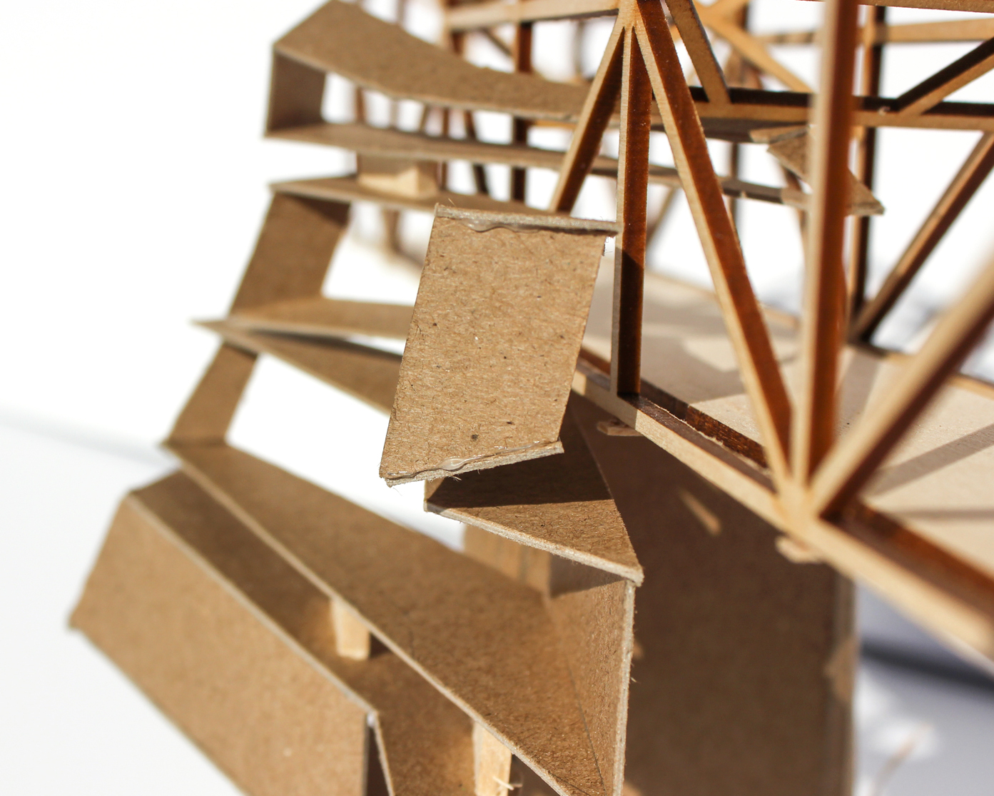
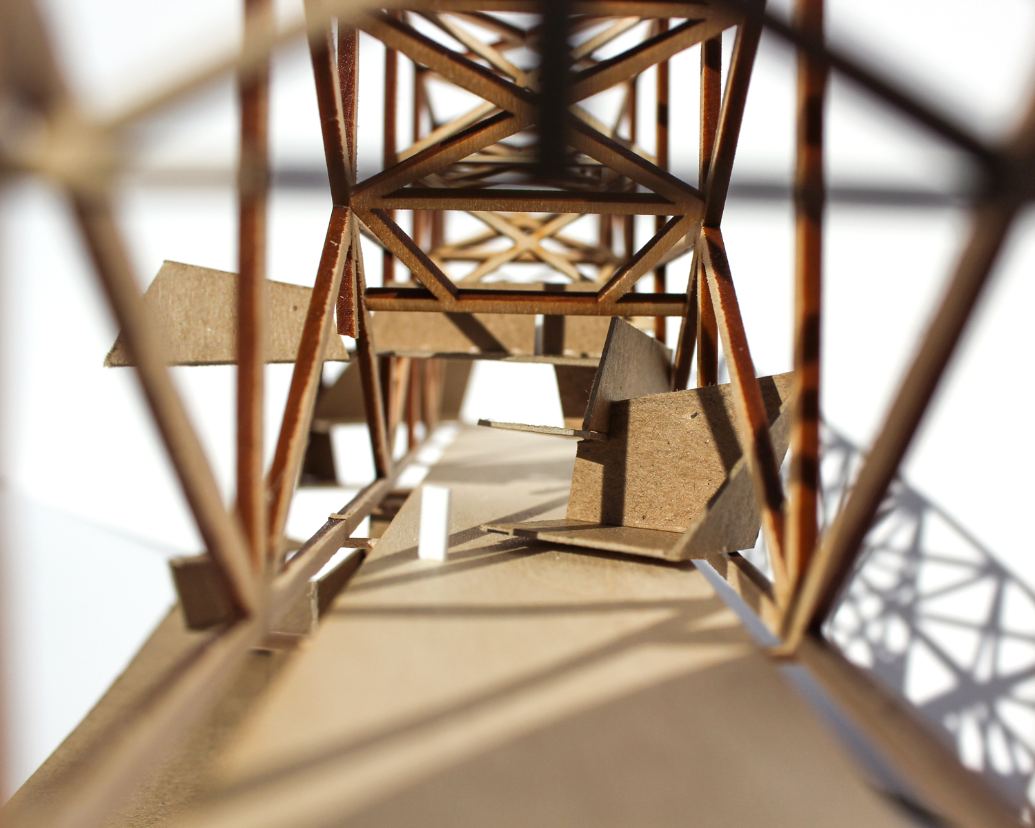
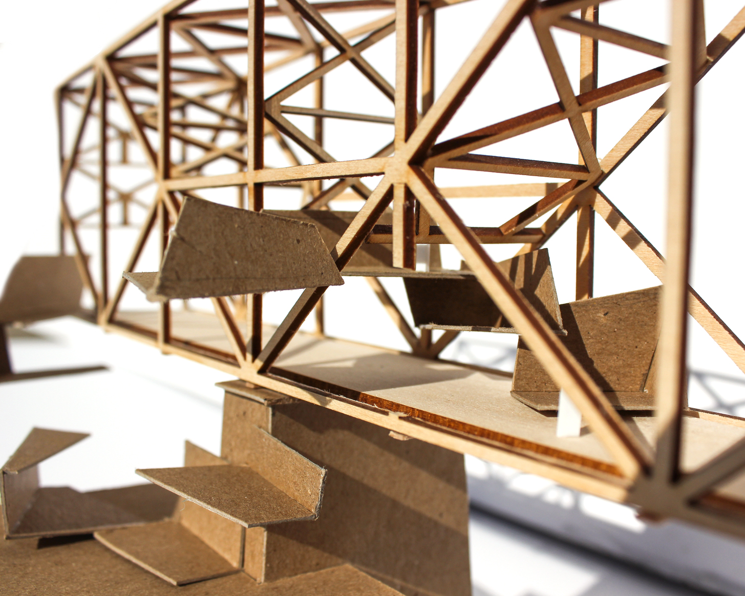
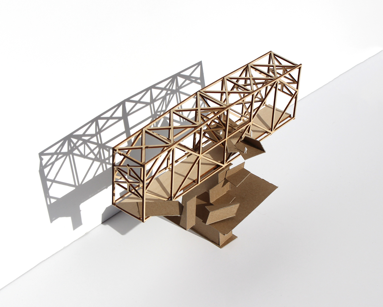
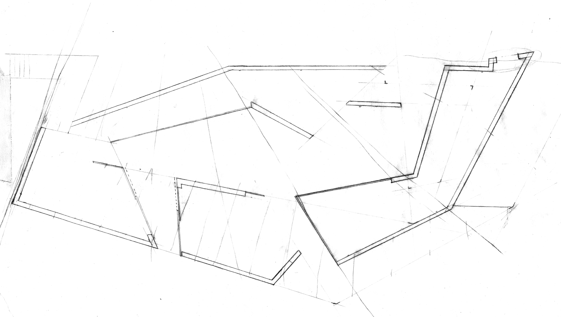
Final Proposal
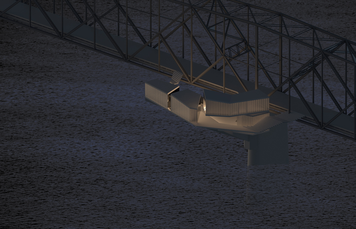
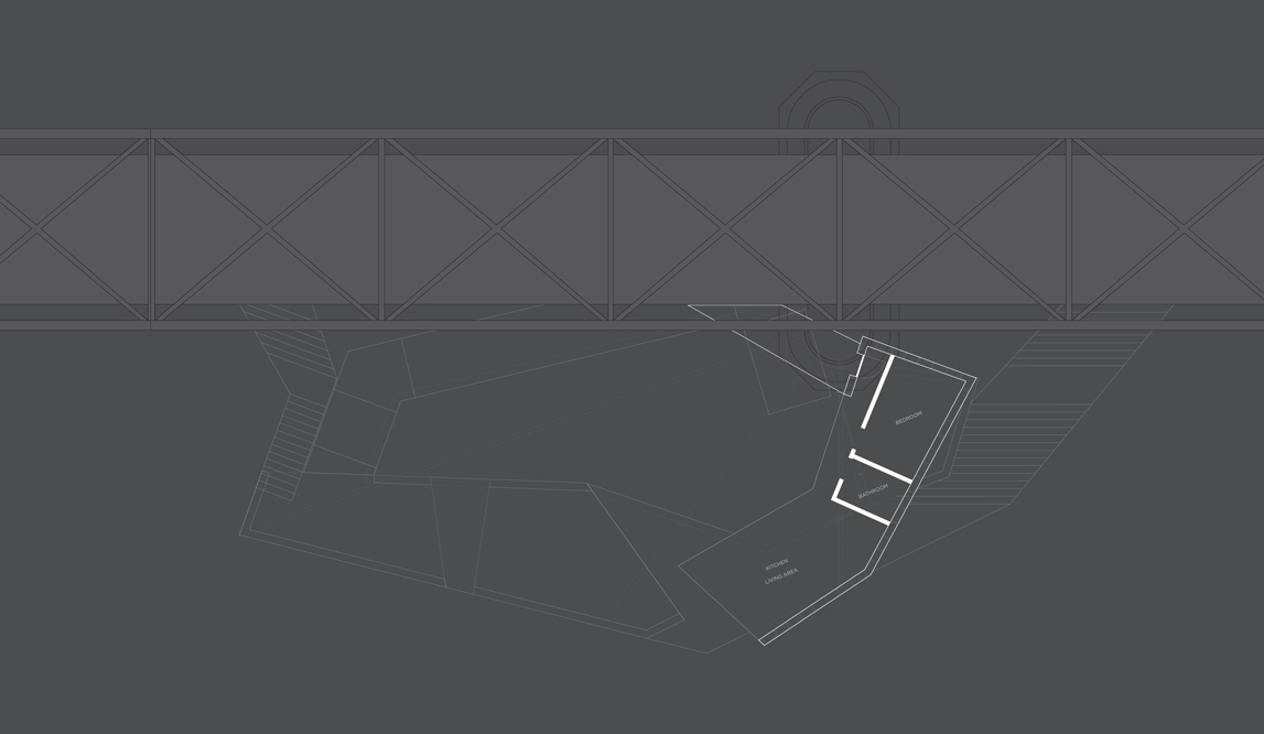
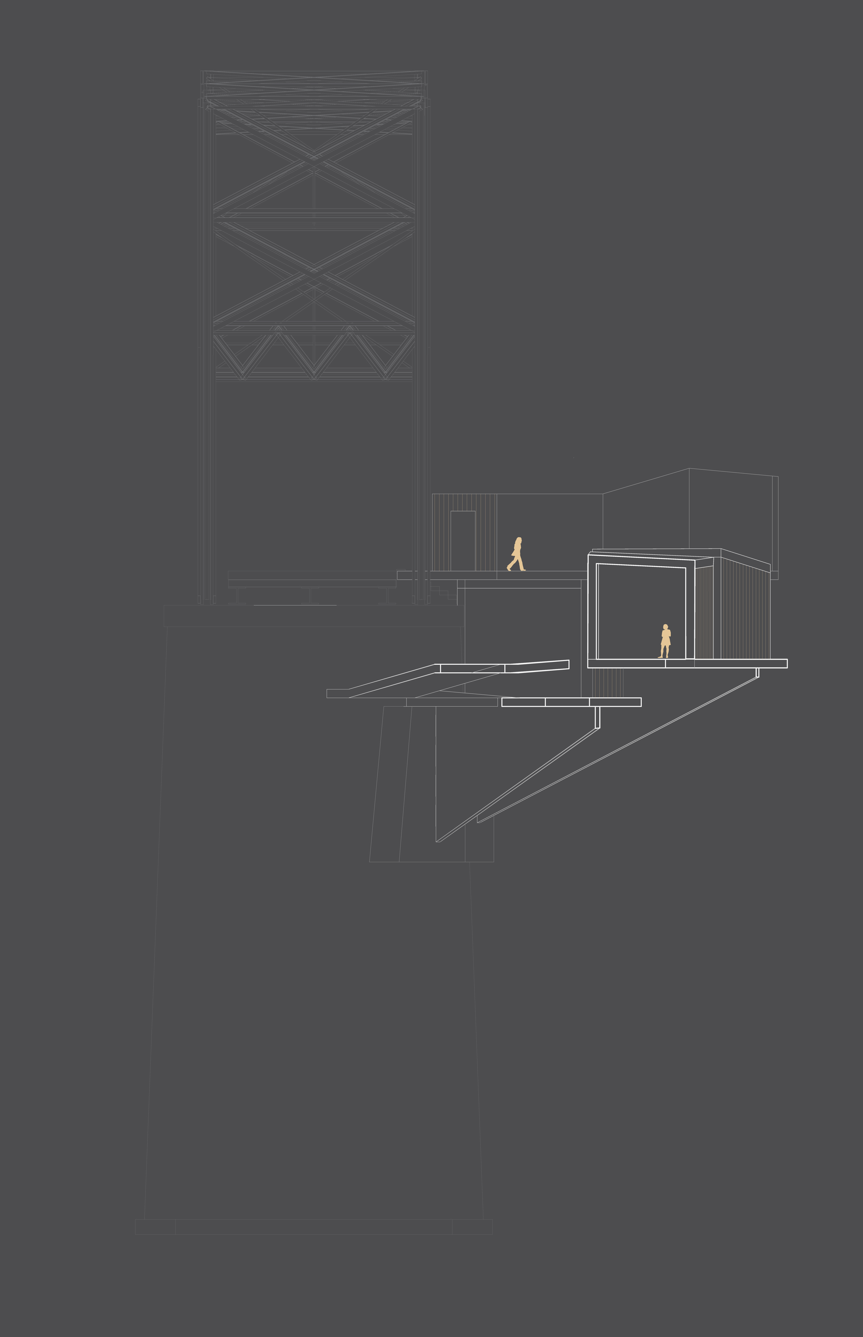
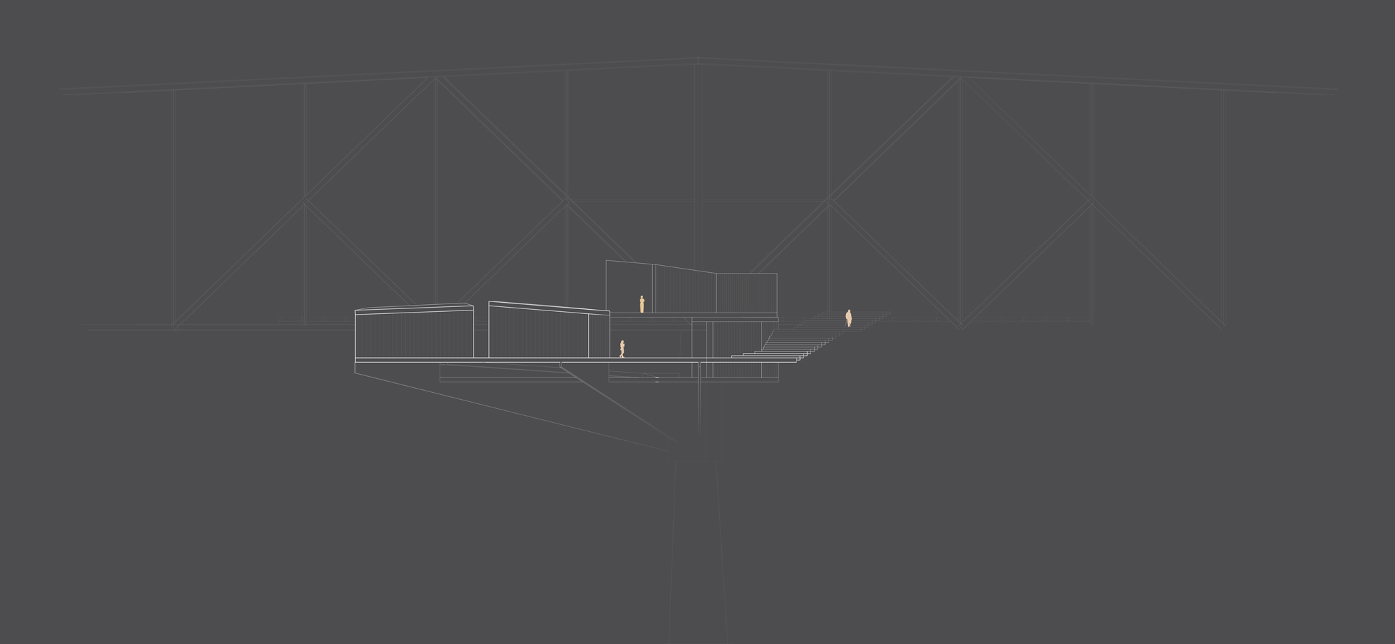
The final model was over 4 feet long, including the detailed bridge and supporting pylon.